Drone mapping & 3D
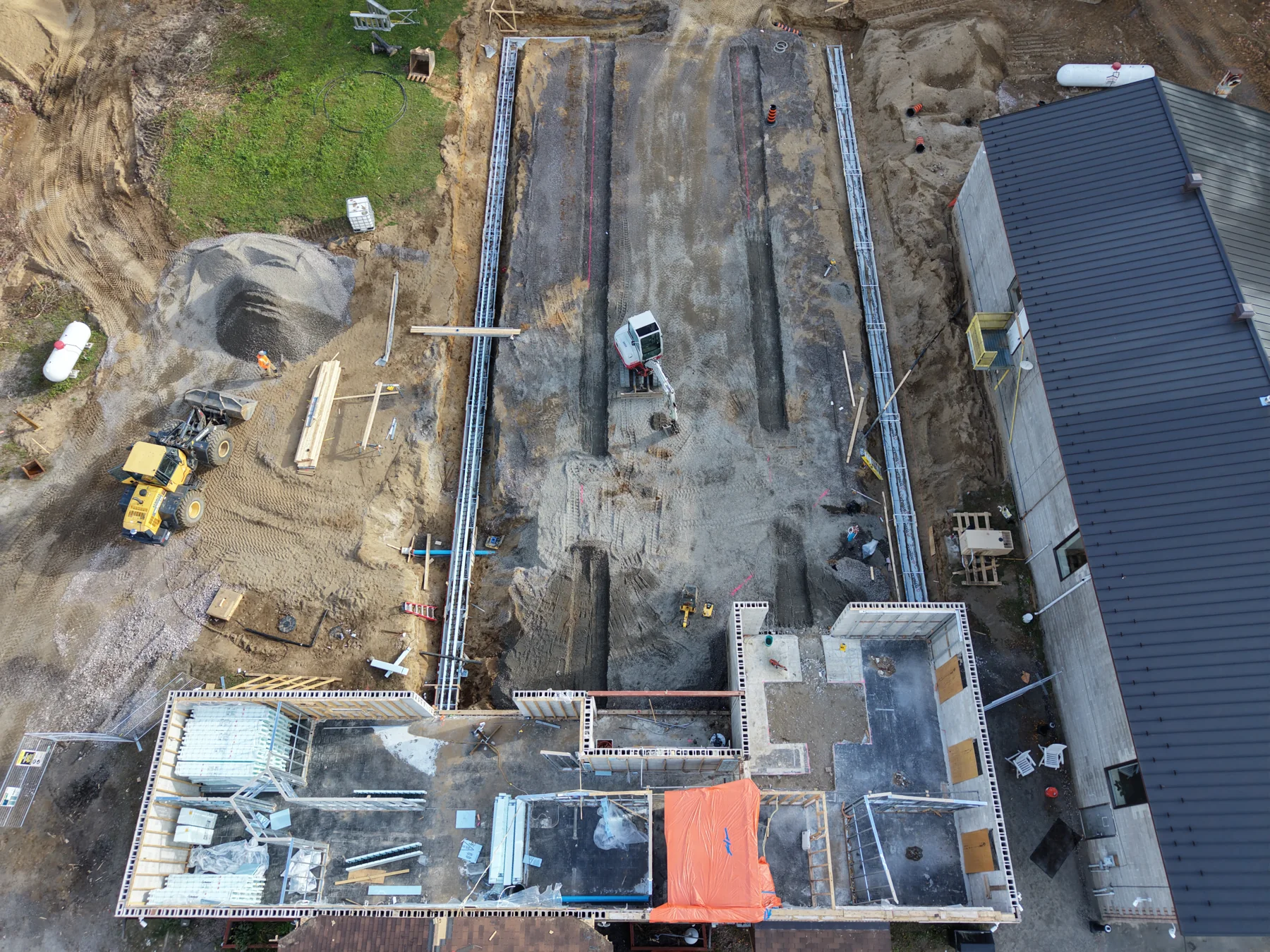
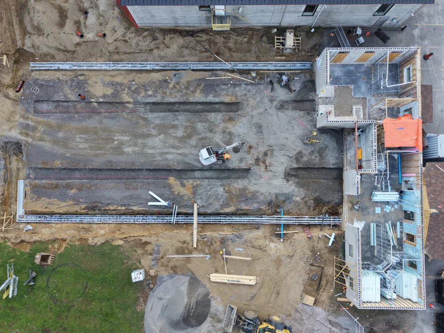
Turn drone photos into orthophotos and 3D models. Explore the site and keep dated captures together.
Aerial perspective → project context SiteVoy
A clearer view of construction
From the first flight to the final walkthrough. Bring your maps, drawings and site captures together—and keep everyone looking at the same picture.
Built for construction teams. Now welcoming early-access enquiries.
01 / THE PLATFORM
Move from a bird’s-eye view to the information your team needs. Less searching through files. More understanding what’s happening on site.
SiteVoy / Project exploreIllustrations of the workflow.
Your project workspace stays private.
02 / WHAT YOU CAN DO
Tools that connect field captures to everyday project work, from documenting progress to reviewing what comes next.
Turn drone photos into orthophotos and 3D models. Explore the site and keep dated captures together.
Aerial perspective → project contextUpload stitched 360 video and revisit your site. Add frame-specific notes and connect captures to a floor plan.
A visual record of the workFind your sheets, follow linked details, review side by side and keep your measurements and markups with the drawing.
From reference to reviewBring in LandXML surfaces, GeoTIFFs and DXF references. Compare surfaces and measure within the areas you define.
Review areas, elevations and volumesGive everyday site photos and project documents a home alongside your captures and drawings.
Less searching through foldersInvite your team, set access levels and choose who can see each project. Keep field and office conversations connected.
The right people. The right access.FROM FIELD TO WORKSPACE
A practical workflow for the information you’re already collecting.
Upload drone photos, stitched 360 video, drawings or existing survey deliverables.
Process captures, set your drawing scale and locate walkthroughs on the appropriate plan.
Review progress, add markups and give your team access to a consistent project record.
 Built around real site work.
03 / ABOUT SITEVOY
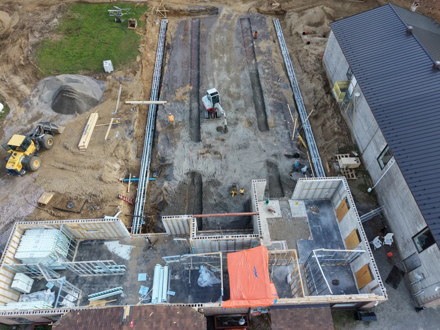
Construction information often lives in different places: a drone folder, a drawing set, someone’s phone. SiteVoy is being built to bring those perspectives together.
Our focus is practical: help teams see what’s there, find the detail they need and keep a useful visual record as the project moves forward.
Find your starting point04 / EARLY-ACCESS PRICING
Choose a starting point for your company. We’ll confirm your storage and processing needs before you join.
Proposed plans · CAD per company / month · Taxes extra
Starter
$150/mo
A clear home for your site information.
Professional
$300/mo
More room for ongoing project work.
Business
$500/mo
Capacity for a busier project portfolio.
Custom
Let’s talk.
A setup that fits the way you work.
*Early-access plan guide, not a live subscription checkout. Storage, processing allowances, priority and concurrency are subject to final confirmation before onboarding. Storage includes originals and processed results. No payment is taken here.
A FEW GOOD QUESTIONS
SiteVoy is in early access. Existing members can log in today. New companies can send an enquiry to discuss a demo, availability and a suitable setup.
The workspace supports drone JPEG photos, stitched 360 MP4 video, PDF drawings, project photos and documents. You can also bring in processed GeoTIFF orthophotos, LandXML surfaces and DXF references. Capture limits depend on the processing setup.
Yes. Export a full 360°, 2:1 MP4 from Insta360 Studio before uploading. Choose a floor plan, set its scale and mark your starting point and direction. Some captures need alignment review; tracking results depend on the footage.
Your workspace requires a login. Project access settings let admins choose all company members or selected members. Admins and owners retain access to company projects. The photos on this page have been selected for the public website.
No. Processing requirements vary with photo count, resolution, quality and walkthrough length. We’ll confirm the included allowance and any optional additional capacity before onboarding.
YOUR NEXT PERSPECTIVE
Let’s talk about your projects and how SiteVoy could fit.